Want to track flights Iran and the Persian Gulf in real time? Since the 2026 US-Iran conflict began, knowing how to track flights Iran has become essential for journalists, analysts, and travellers. This guide covers 4 free tools to track flights Iran including our dedicated air traffic monitor, OpenSky Network, Flightradar24, and ADS-B Exchange. Learn how ADS-B technology works, what to look for when monitoring conflict zone airspace, and the limitations of flight tracking over active war zones.
Our air traffic tracker shows live aircraft positions over Iran refreshing every 60 seconds. Whether you want to track flights Iran for OSINT research or simply check if your airline is routing around Iranian airspace, these tools will help you track flights Iran accurately and safely.
How to Track Flights Over Iran and the Persian Gulf in Real Time
Knowing how to track flights over Iran and the Persian Gulf has become critically important since the 2026 US-Iran conflict began. Airspace closures, civilian flight diversions, and military aircraft movements all provide real-time intelligence about the conflict’s status and intensity. Whether you are a traveller checking route disruptions, an analyst monitoring military activity, or an OSINT researcher, this guide explains how to track flights over Iran and the surrounding conflict zone.
War Intel Hub operates a dedicated air traffic monitor showing real-time aircraft positions over the Middle East. This article explains how the underlying technology works and how to use it effectively for conflict monitoring.
How to Track Flights Iran Using ADS-B Technology
The technology that makes it possible to track flights over Iran is called ADS-B (Automatic Dependent Surveillance-Broadcast). Most commercial aircraft are equipped with ADS-B transponders that continuously broadcast the aircraft’s position, altitude, speed, heading, and identification. Ground-based receivers pick up these signals, and platforms like OpenSky Network and Flightradar24 aggregate data from thousands of receivers worldwide to display aircraft positions on a map.
Our air traffic monitor uses data from the OpenSky Network to display all aircraft broadcasting ADS-B over the Middle East conflict zone, with positions refreshing every 60 seconds.
What You Can See When You Track Flights Over Iran
- Civilian diversions — Airlines rerouting around Iranian airspace (longer routes mean higher fuel costs)
- Airspace closures — When no aircraft appear over a region, it indicates an active NOTAM (Notice to Airmen) closure
- Military tankers — Aerial refueling aircraft orbiting in patterns suggest active strike operations nearby
- Surveillance aircraft — Reconnaissance planes flying racetrack patterns along borders
- Traffic density changes — Sudden drops in aircraft count can signal escalation
Where to Track Flights Over Iran for Free
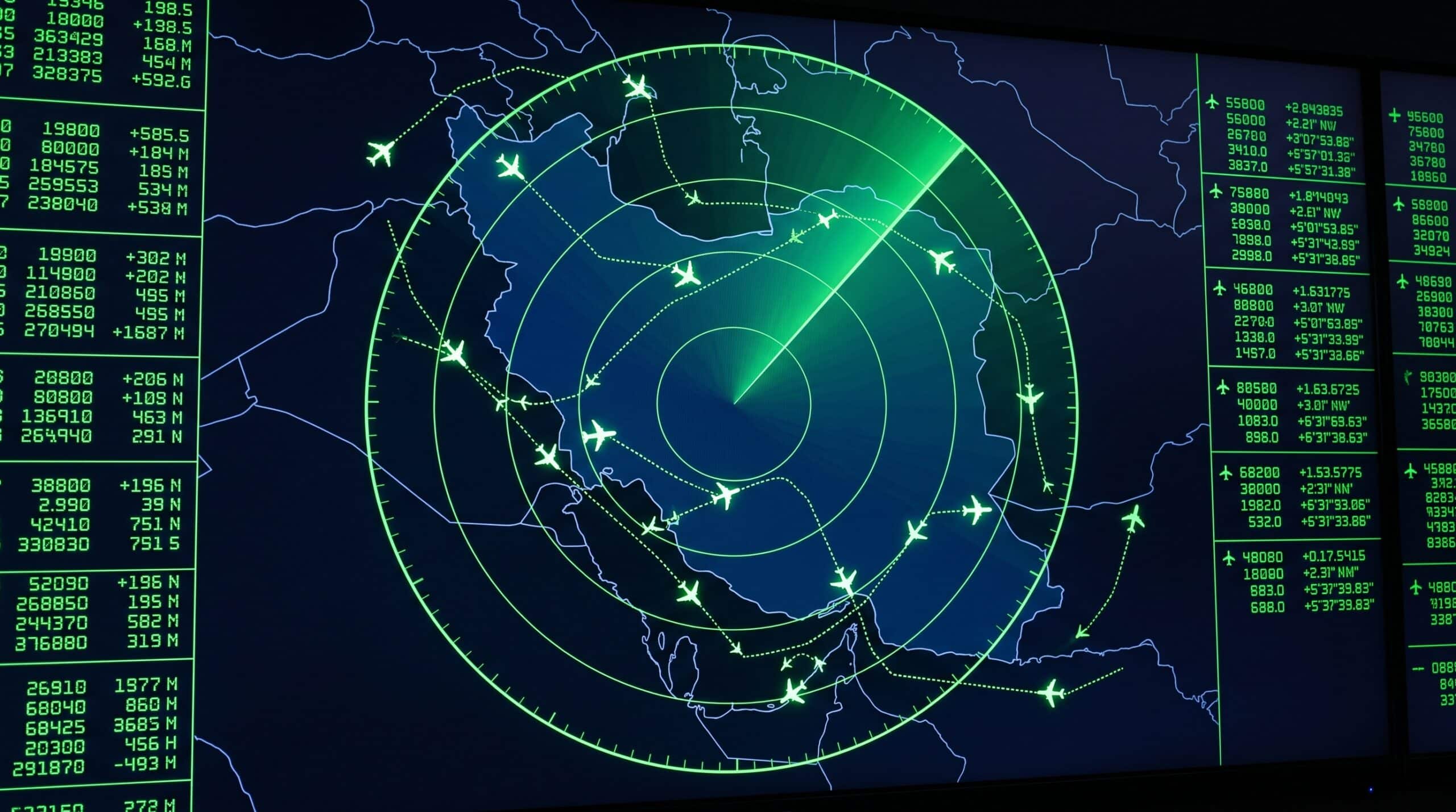
1. War Intel Hub Air Traffic Monitor
Our dedicated air traffic page is purpose-built for conflict monitoring. It shows a full-screen Leaflet map centered on the Middle East with dark CartoDB tiles, conflict zone overlays for Iran and the Strait of Hormuz, and color-coded aircraft icons by altitude. Each aircraft is clickable for flight details. The map refreshes every 60 seconds from the OpenSky Network API.
2. OpenSky Network
OpenSky Network is a free, open-source ADS-B data platform maintained by a consortium of universities and research institutions. It provides the raw data that powers our air traffic monitor. The OpenSky explorer allows you to view global air traffic and access historical data for research purposes.
3. Flightradar24
Flightradar24 is the most popular consumer flight tracking platform. The free version shows real-time aircraft positions with limited detail, while the paid subscription provides historical data, enhanced filtering, and airline-specific tracking. During the 2026 conflict, Flightradar24 was widely used to document airspace closures over Iran.
4. ADS-B Exchange
ADS-B Exchange is notable because it does not filter out military aircraft. While Flightradar24 often hides military transponder codes, ADS-B Exchange shows everything it receives. This makes it particularly valuable for OSINT analysts who want to track flights over Iran including military assets that other platforms filter.
What to Look For When You Track Flights Over Iran
When monitoring air traffic during the conflict, experienced OSINT analysts watch for several patterns:
- Empty airspace — If no aircraft are visible over a region that normally has traffic, active military operations or NOTAM closures are likely in effect
- Rerouting patterns — Airlines adding hundreds of miles to avoid conflict zones increases fuel costs and signals elevated risk assessment
- Holding patterns — Aircraft circling in specific areas may indicate military refueling operations or surveillance missions
- Transponder blackouts — Aircraft that suddenly stop broadcasting may have turned off transponders (common for military operations)
- Unusual flight paths — Aircraft taking unconventional routes to avoid specific areas reveal which regions are considered dangerous
Limitations of Flight Tracking Over Iran
There are important limitations to be aware of when you track flights over Iran:
- Military aircraft often fly without transponders — You will not see most combat aircraft on civilian trackers
- ADS-B coverage gaps — Receiver coverage over central Iran and the Arabian Sea is limited, so some aircraft may not appear
- Spoofing — ADS-B signals can be spoofed or jammed, meaning displayed positions may not be accurate in active conflict zones
- Delayed data — Some platforms introduce deliberate delays for security reasons
For comprehensive conflict monitoring, combine flight tracking with ship tracking, strike map data, and live news feeds. No single data source tells the complete story.
Track Flights Over Iran Right Now
Live ADS-B aircraft data over the Middle East conflict zone, refreshing every 60 seconds.
Open Air Traffic Monitor →Learn more about the tools used in conflict monitoring in our complete OSINT tracking guide, or see how air traffic fits into the broader conflict picture on our US-Iran conflict timeline.